Bow Valley Parkway

Way up north in the Province of Alberta, Canada is a bike ride that lives in the annals of legendary rides not to be missed during one’s lifetime. As it is with too many myths, the reality often fails to come close to the fable. The Bow Valley Parkway is the exception in this pattern of fairy-tale deception. It is without qualification, the best bike ride I have ever taken. 

During a three year pilot program starting in 2022 and continuing through 2024, Parks Canada is restricting vehicular traffic during the spring and fall along the 17km (10.5 miles) eastern section of the Bow Valley Parkway. The dates this year are May 1 through June 25, 2023 and September 1 through September 30, 2023. So should you find yourself on the parkway during those periods, you will have the entire road in both directions all to yourself and any other non-motorized traffic traveling along that route.

Parks Canada recommends beginning your trek in Banff by parking your vehicle at the Banff Train Station which is not only free but also plentiful. If you arrive early enough as I did, don’t be surprised by the native deer wandering through the parking lot after a long night of deer related activities.

The ride begins at the train station and follows a well marked route along a paved road past Vermillion Lakes to the Banff Legacy Trail.

Some rides along roads that lead to bike trails are less than optimal, not this road. The views are nothing short of incredible. Moreover, there is little or no traffic because this road dead ends at the Banff Legacy trailhead which brings one directly to the parkway.

In addressing the concerns of wildlife advocates, Parks Canada has decided to close the parkway every night during the trial period from 8:00 pm until 8:00 am to human traffic while leaving it open during that time to the local wildlife to use as they see fit. To that end, an automated gate that opens at 8:00 am and closes at 8:00 pm has been placed at the parkway entrance. By chance or fortune, I arrived just in time to actually see the gate open.

“Bear” in mind that early morning starts have the potential to bring you in direct contact with wildlife still using the parkway. Shortly after passing the gate, I ran into a couple of deer on the parkway. They didn’t seem to be very concerned about my presence or really anything else for that matter leading me to take that as a sign of no bears in the area and a big sigh of relief. 

Sighs by their nature are short-lived and so was mine because less than 100 yards later a bear ambled out of the woods directly in front of me. I immediately saw the bear and froze, the bear saw me too, turned and continued ambling in my direction. Herein began the eternal internal dilemma for any photographer; the desire to capture the unfolding picture in direct conflict with the need to stay  alive. 

Slowly I rode my bike away from the bear until I felt the distance was great enough to insure my safety while getting my shot. However, the bear had a different outcome in mind as when it saw me reaching for my camera, it turned and disappeared into the forest.

Disappointed by my failure to capture that image, my only real option was to ride down a long hill into more incredible scenery. As I flew down the slope of the road, it became apparent that I was traveling “way to fast” but then again, I had just faced off with a bear so…. I decided to name that hill “Too Fast Hill” and enjoy the ride.

As for the remainder of the ride, here are some visuals illustrating how that played out.

Finally, there is this, a panoramic view from the Muleshoe parking area. 

Maybe it was the sunny summer morning, the cool mountain air or the thrill of a face to face with a bear but this ride was beyond spectacular. There are places on our planet where the “wow factor” is on hyper-drive, this is one of those places and the cost of admission is nothing more than a morning bike ride. 

https://www.pc.gc.ca/en/pn-np/ab/banff/activ/cyclisme-biking/saisonintermediaire-shoulderseason
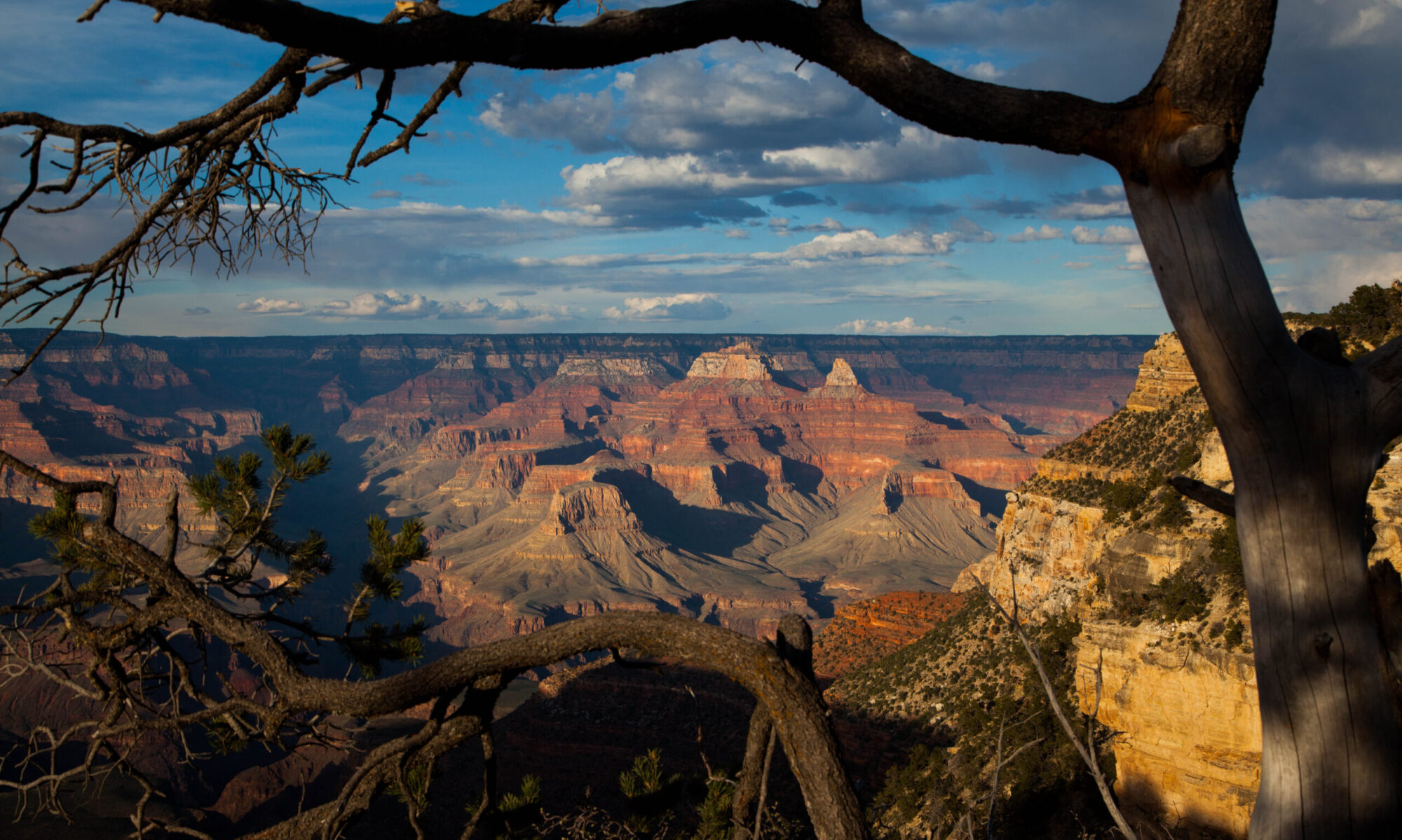
Niagara Falls and Gorge

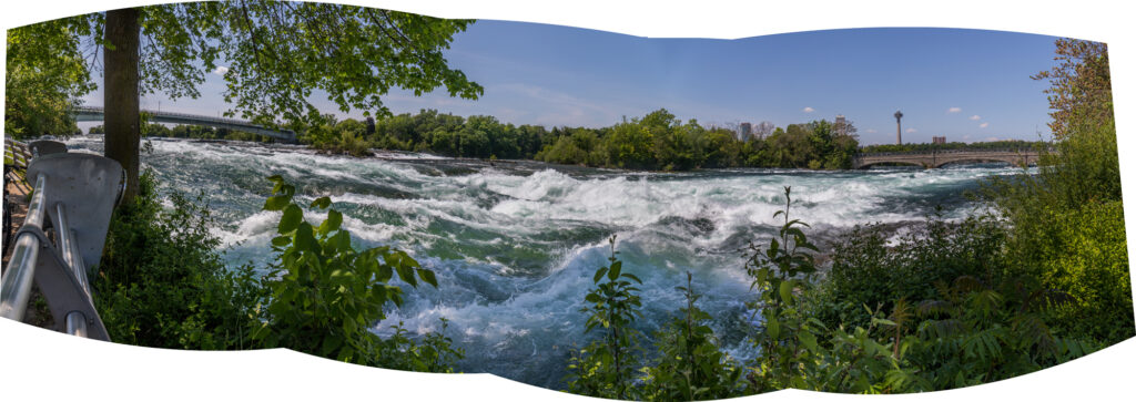
There are places on our planet where the constant interplay between water and earth create landscapes of incredible beauty and indescribable wonder. Niagara Falls and its gorge are one of those places. 

One of those places I was fortunate enough to grow up nearby. 

One of those places that I was able to return to later on and ride along side what is still considered by many as one of the natural world’s greatest wonders.

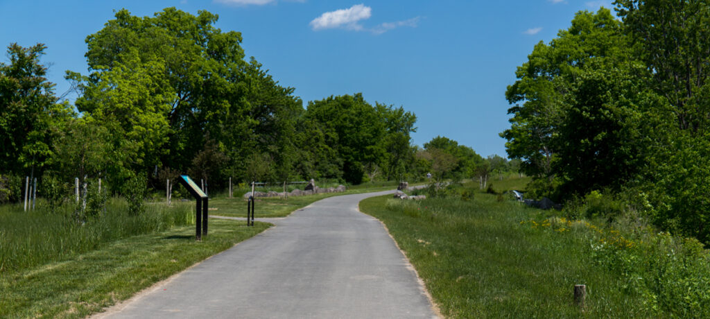
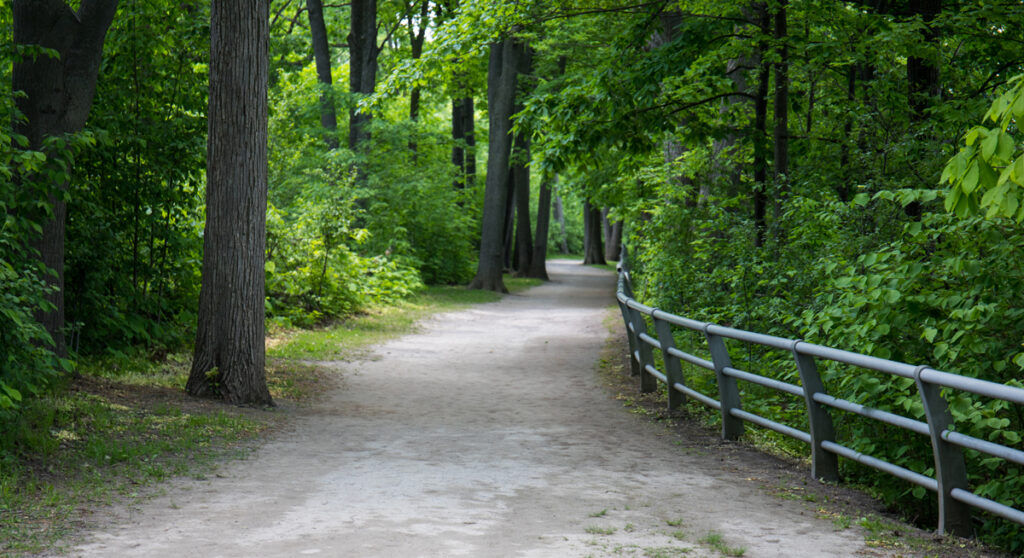
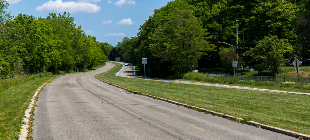
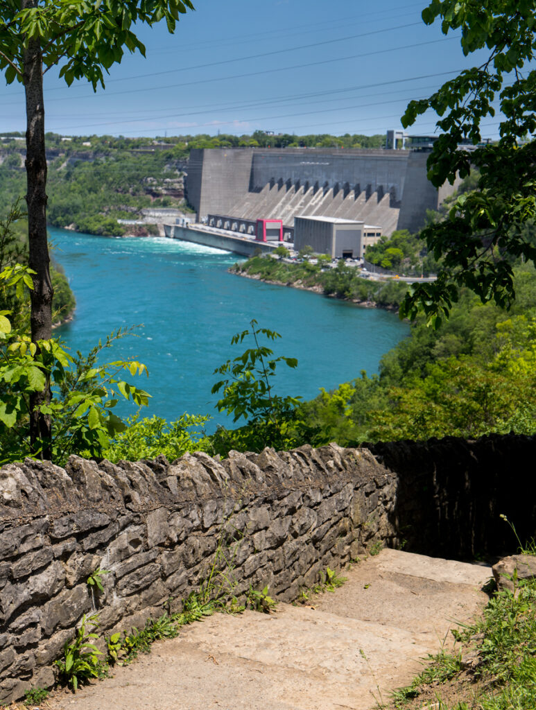
There is a trail that begins at the falls, winds along the escarpment and ends near the Robert Moses Power Plant. It is a combined mixture of dedicated walking/bicycling trails and decommissioned highway with overlooks strategically placed to offer the best views.

My ride began early one summer morning at the falls themselves. Following the walkways & trails it is possible to not only get closeup views (feel the spray on your face close)  of the American Falls but also the Canadian Falls by crossing over the bridge to Goat Island from the American side. Both falls are massive mesmerizing displays of falling water and heavenly mist. 

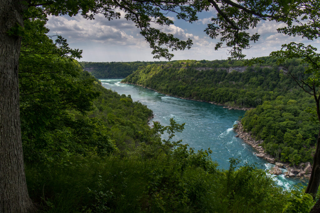
While the route itself is not marked by any real signage, it is easy to follow by just keeping that big ditch on your left hand side as you roll north along the trail. The entire route along the palisade affords some of the best & easiest views of the river without having to climb down to the river and back up to see them.

Exiting Lake Erie, the Niagara River flow averages between 85,000 cubic feet per second and 204,000 cfs over the falls and through the gorge depending on how much water is being diverted to generate electrical power for western New York & southern Canada. All this water makes for larger than life hydraulic features along the river that are easily seen from the rim. These are massive formations of pulsating, surging, rolling back upon itself water features that tend to have a hypnotic effect on those whose gaze lingers just a little bit too long. 

Back in the 1980’s ABCs Wide World of sports enlisted several world class kayakers to run the lower gorge on camera which has always led me to the false assumption that I too could run that part of the river. Once I hiked down to the rivers edge to get an up close and personal view of the hydraulics which brought me to the conclusion that I’d die long before I ever got close to finishing the run. Reversals (water falling back upon itself) as big as metro buses would be the end of me. Then there is the whirlpool below the largest converging diagonal waves I have ever seen. 

Yeah, guess I’ll put that little death wish to sleep…

for a while. 

Part of me will always want to believe that if I only ran left, I might could make that line…

in my dreams.

As to the trail itself, the City of Niagara Falls has done a spectacular job of not only piecing together and developing this awesome trail but purging the area next to the falls of trashy tourist attractions. This ride has made itself one of the go to rides whenever I visit western New York because it combines two of my favorite activities, bicycling & running rivers even if it’s only in my dreams.

https://www.traillink.com/trail/niagara-scenic-parkway-trail/

The Route of the Hiawatha

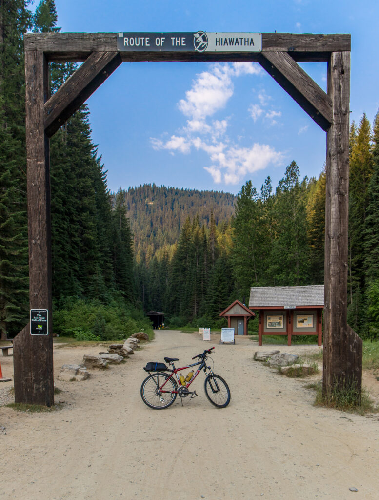
East Portal Trailhead

There exists in the world places that are beyond special in their ability to connect with an inner self deep within each of us. These places summon us from afar to undertake a private pilgrimage to experience and extol the virtues of being and having been suspended spellbound within the transcendency of their elevation.

You may be asking yourself, where can I find such a place? 

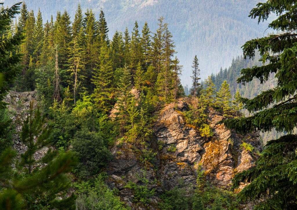
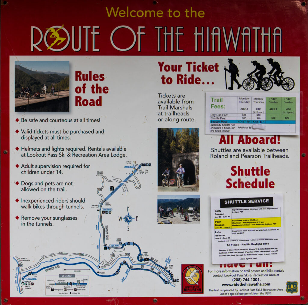
With 7 sky high trestles, 10 tunnels and 15 miles all downhill, the answer to your search is hands down, without a doubt, “The Route of the Hiawatha” especially if you are an avid bike riding fool looking for incredible scenery through the Bitterroot Mountains of Idaho. That’s not just my assessment either, the Rails-to-Trails Conservancy has named the trail to it’s Rail-Trail Hall of Fame because the route is considered by many to be the “Crowned Jewel” of all rail-to-trail projects in the United States.

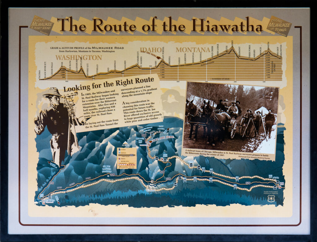
The Route of the Hiawatha follows the remnants of the old Milwaukee Railroad through the northern Rocky Mountains, a feat of modern railroad engineering back in the day. The road was abandoned in 1980 and reopened in May of 1998 to cycling & hiking. For much of its life, the line was electrified and transitioned to diesel locomotives near the end of its operational life. 

Wallace, Idaho makes a perfect base for your cycling adventures on this trail and its companion, ‘The Trail of the Coeur d’Alenes”. There are a number of wonderful restaurants and places to stay. I prefer AirBnB because the lodgings have more local flavor than the large hotel/motel chains.

You will need a Trail Pass to ride the route which can be purchased separately or in combination with a shuttle ride back to the top. At $27 for weekdays and $30 on weekends for both, it’s a great travel bargain for families and those looking for quality outdoor time. Trail passes can be purchased at the Lookout Pass Ski & Recreation area, you can purchase a day pass or a season pass as I did which entitles you to a summer of rides and shuttles for $64. Bring a picnic lunch and make a day of it. Ride both trails and make a week of it.
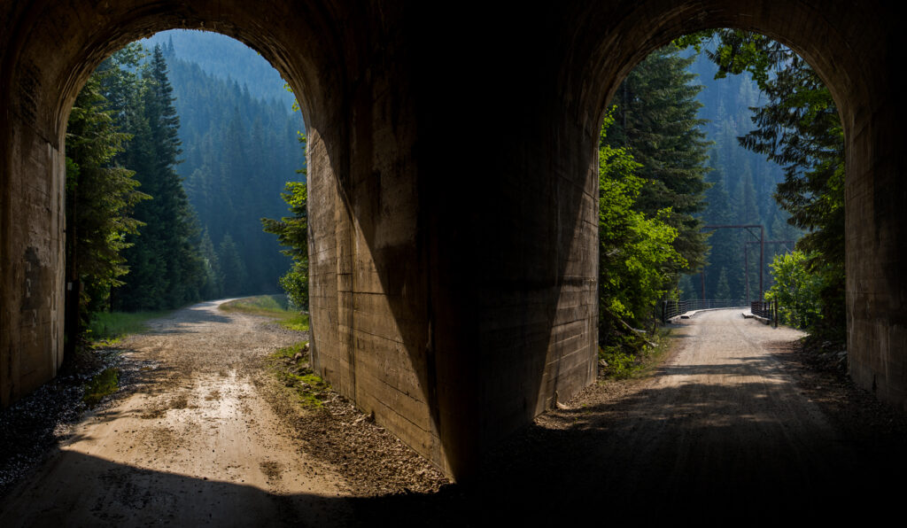
East Portal St. Paul Pass Tunnel (Taft Tunnel)

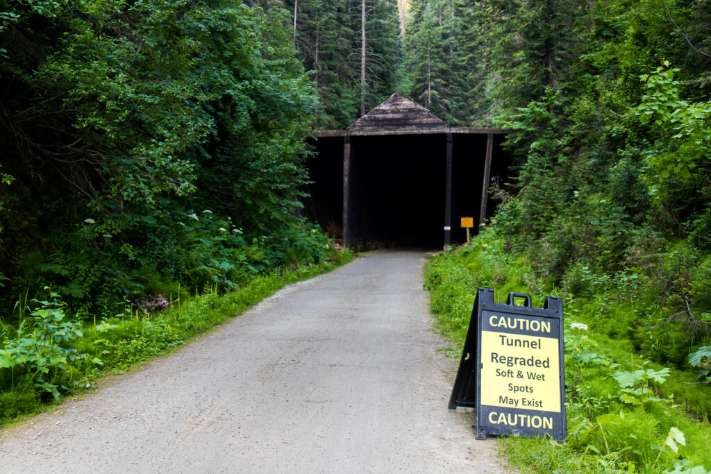
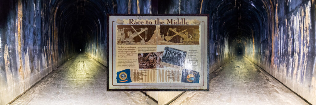
The route begins at the East Portal of the St. Paul Pass Tunnel known by some as the Taft Tunnel. The tunnel is 8771 feet long, that’s over 1 2/3 mile of darkness which is why you must have a decent light for your bicycle. Moreover, he said with glee, that’s not the only tunnel you’ll need to turn your light on to get through. Be forewarned, the tunnels aren’t only dark, they can be colder and wetter than outside in the sun and trees. 

St. Paul Pass Tunnel

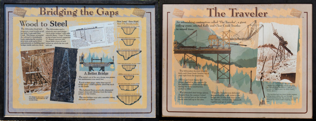
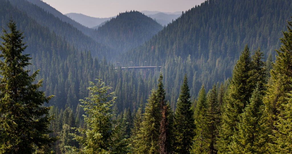
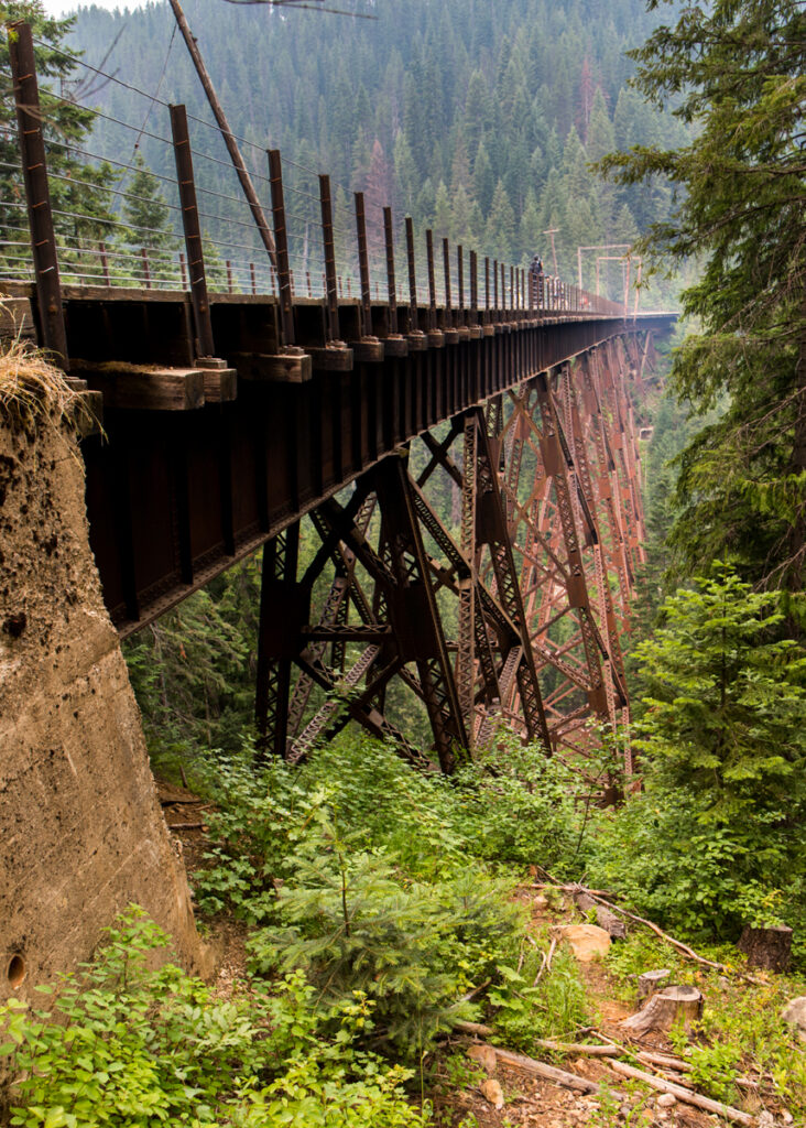
Prolonged riding through the darkness may not scare you away but then did you factor in your fear of heights? The Kelly Creek & Clear Creek Trestles are both over 760 feet long and 220 feet high: Kelly Creek trestle is 850 feet long and 230 feet tall while Clear Creek Trestle is only 760 feet long and 220 feet tall. Look down, look around, views like this don’t grow on trees, they grow inside a forest of trees following the lineation of the land. 

After passing through the tunnel, you emerge at the western portal and the drop off point for the shuttle. Riders who parked at the eastern portal will have to ride back through 8771 feet of darkness to get back to their autos, a fitting farewell to the magic of this place.

The route continues downhill sharing the next 2 miles or so with a road traveled mostly by infrequent shuttle busses. From the Moss Creek parking area to the trail terminus, the route is bicycles and official vehicles only. It’s at this point that the trail enters the loop creek drainage and ultimately forms a large loop as it descends towards Pearson at the end of the trail.

Kelly Creek Trestle 850 ft. Long, 230ft. tall
Clear Creek Trestle 760 ft. long, 220 ft. tallC
Clear Creek Trestle

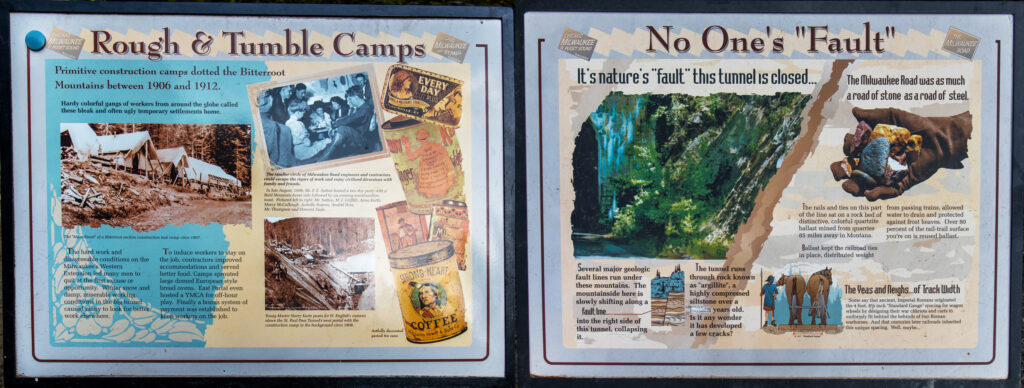
All along the route, there are interpretive signs highlighting the history of the line and the technology that made it possible. Well worth the time to stop, read and enjoy the view as well expand your knowledge and appreciation of this highway through heaven.

The total elevation change for the trail is only 1000 feet over 15 miles, 1-2% grade downhill which translates into an easy uphill ride. On my last day, I started at the bottom, easy ride to the top and then a slow glide back to the bottom. The biggest problem I encountered happened after all the time spent wowing over the views, enjoying the ride and marveling at the marvels and occurred shortly after I arrived at the bottom. The voodoo in this ride alters one’s perception of time making it seem like you’ve only been riding for about 15 minutes.

Of all the trails I rode last year, this was the best. Of all the trails I’ve ever ridden, this is without question the best. The week I spent riding “The Route of the Hiawatha” and “The Trail of the Coeur d’Alenes was one of the best in my bike riding life. If you love riding your bike, then this is a bucket list, must do ride. I’ll let the pictures speak for themselves.

Links: 

https://www.ridethehiawatha.com/the-trail

https://www.railstotrails.org/

https://www.railstotrails.org/trailblog/2010/october/01/idahos-trail-of-the-coeur-dalenes-and-route-of-the-hiawatha/

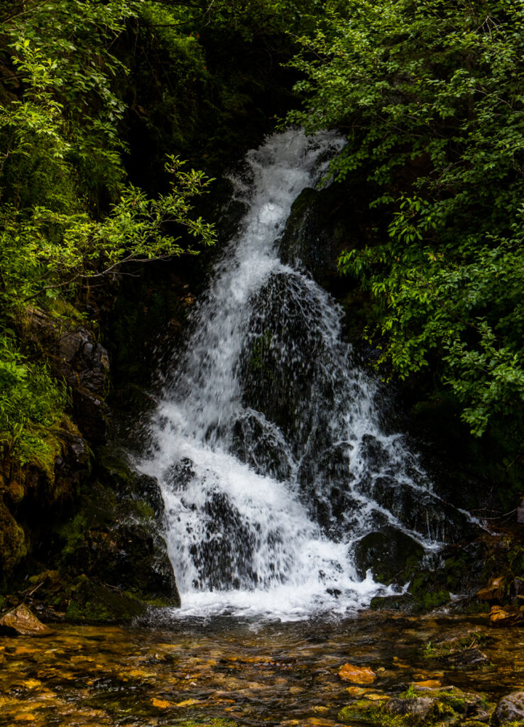
Waterfall at the western St. Paul Pass Tunnel

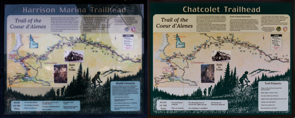
Trail of the Coeur d’Alenes

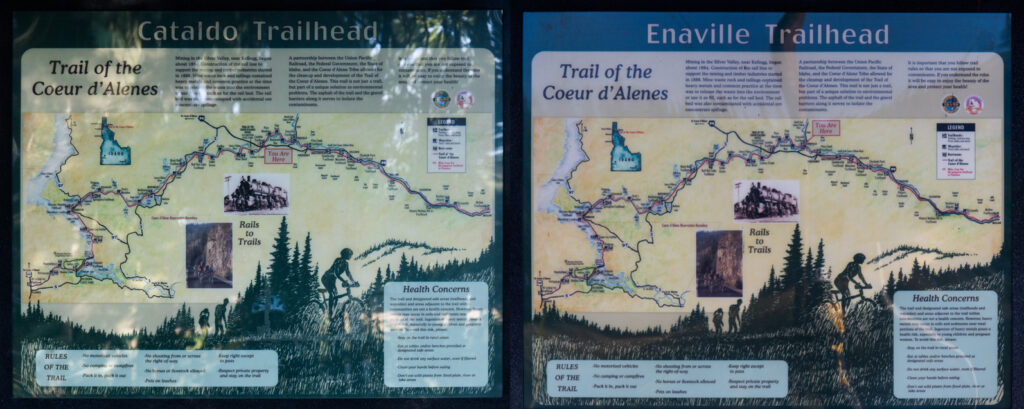
Traversing 73 miles through the wonderful wilderness of Idaho immersing itself between beautiful mountain scenery on one side and lake Coeur d’Alene on the other is the longest paved rail trail in the US, the Trail of the Coeur d’Alene. While there maybe a select few who know the secret of this trail, most will stumble upon its beauty because they were riding the Route of the Hiawatha and it was nearby so why not spend a day riding it just because they were there anyway. However after riding this trail, it becomes readily apparent this is no “tack onto something else” experience. The TCA rightly stands on its own as one of Americas top three rail trails.

After the Union Pacific railroad ceased operations in 1992 and removed the track, the heavy metal contamination remained unabated. Enter the Tribe of the Coeur d’Alene who filed a lawsuit in federal court to clean up the mess. Upon losing the suit, the Union Pacific teamed up with the Environment Protection Agency & the State of Idaho to remediate the damage caused by its operations. Over $30 million of railroad funds were used to remove the road bed, cap the area with fresh gravel and then cover it with asphalt. The result is 73 miles of smooth rolling rail trail that must be maintained in perpetuity by the Union Pacific precipitating a major win for the tribe, the people of Idaho and those of us committed to riding great trails along what used to be rails.

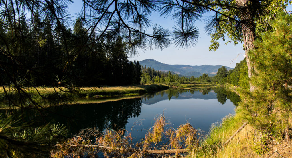
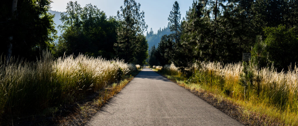
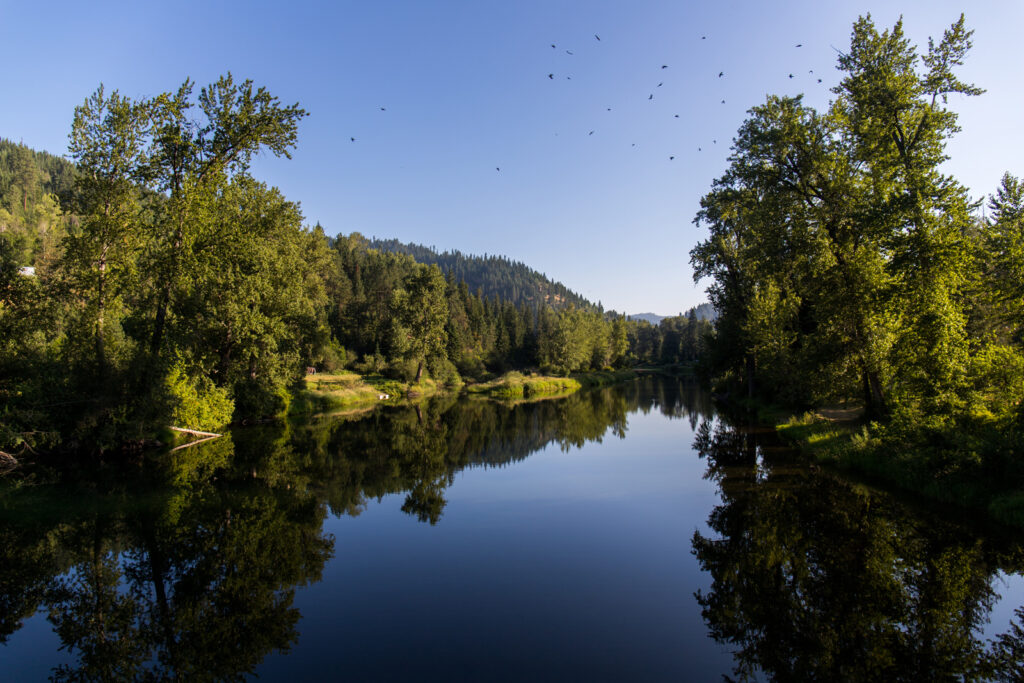
Early one bright, sunny and mostly smoke free morning, my ride started at the Cataldo Trailhead, continued to the Enaville Trailhead and ended after returning to the beginning of my ride. “Spectacular” fails to adequately describe the early morning magnificence I discovered along the Coeur d’Alene river as it flowed through forest & field on its way to Lake Coeur d’Alene. The following pictures provide a tantalizing taste of what has become one of my all time favorite rides.

The short 10 mile ride left me with almost the entire day to ride 8 miles along the lake between Harrison and Chatcolet. To say that this was the “stunning” portion of the ride would be a gross understatement. 

OMG! No really, “Oh my God”!!! 

A clear 3 mile wide blue water mountain lake running north/south while stretching over 25 miles on my left combined with gorgeous mountain scenery on my right under blue skies forced me to consider the possibility that I may have died and gone to bike riding heaven. This is one of those rides during which self imposed impressions alternate between “this is beautiful” & “is this really happening or a dream?” If only you could smell the pictures, hear the waves and feel the wind and sun on your face. 

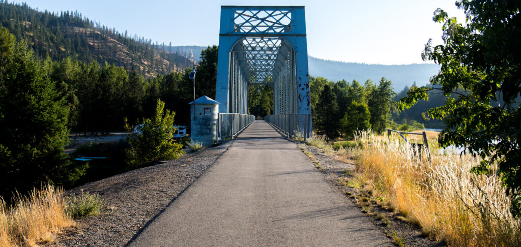
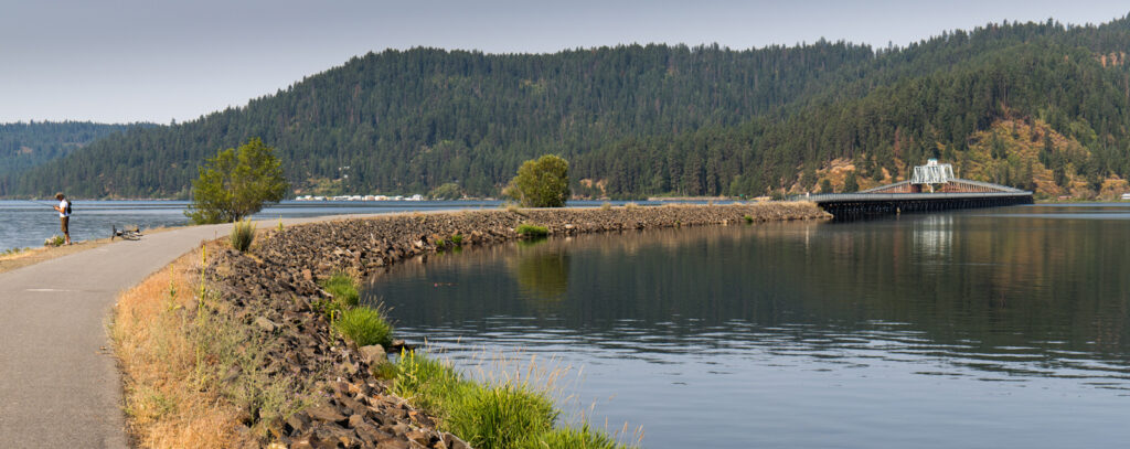
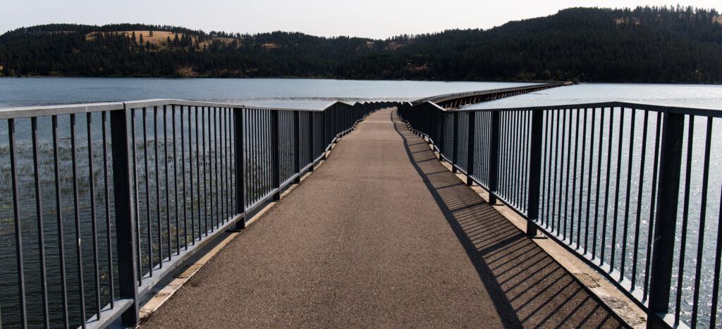
Just before the Chacolet trail head is a bridge that spans 3100 feet across the lake. It can be seen from miles away as a thin line between the eastern & western shores of the lake. Growing larger as one approaches it begging the question, “why would anyone build a bridge across the lake?” Is it like a chicken trying to get to the other side or just because this place is magic and that’s just the way things work here. 

In the end I was too busy enjoyed the view, the day and the ride to care. In any case, ride the bridge if you ever come close to getting the opportunity. As the trail leaves the shoreline and the crossing begins something unusual about the bridge begins to reveal itself. The inclines leading to the bridge aren’t smooth curves, they undulate. So up a bit, level off, up a bit again, level off, a pattern that repeats itself until you reach the span. On the other side of the flat inside the bridge comes a repeat of the level off only this time its going downhill after the leveling off. Here’s a hint at the epiphany hidden in the bridge, it’s actually a bicycle rollercoaster in the middle of “gorgeous” and riding faster while highlighting the experience also tends to hasten it. So, ride faster then ride it again & again. I did and not only did I not regret it, I will never forget it.

Finally, some would argue there is no magic in the world anymore and if there is, it’s hard to find and fleeting at best. My advice to those folks would be to ride this trail; not only will you find the “hidden in plain sight” magic in this world but also the magic unrevealed within yourself.

Trinity Skyline Trail

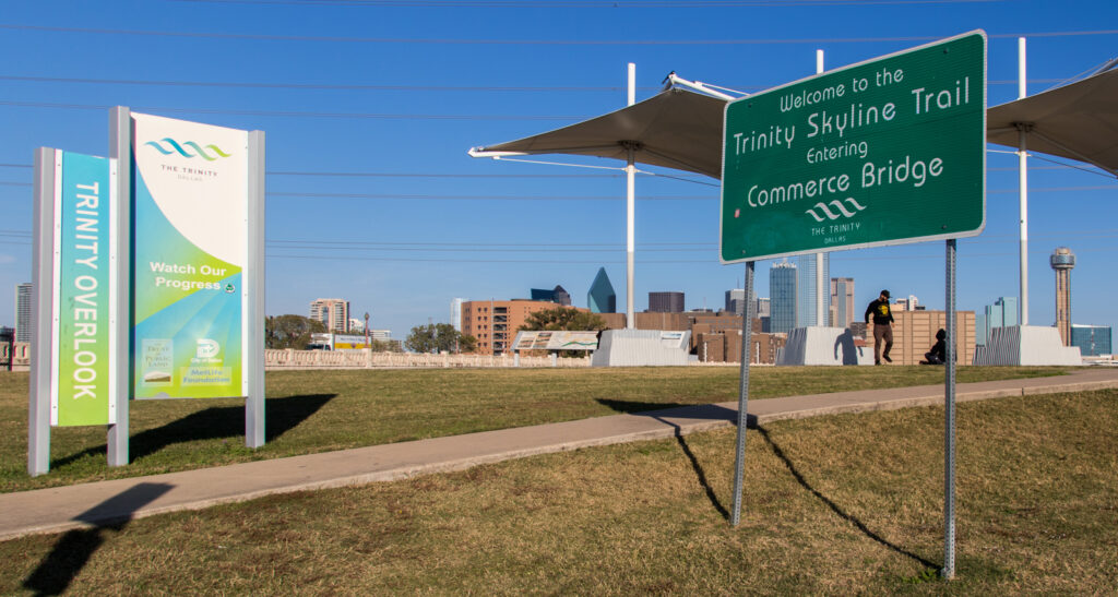
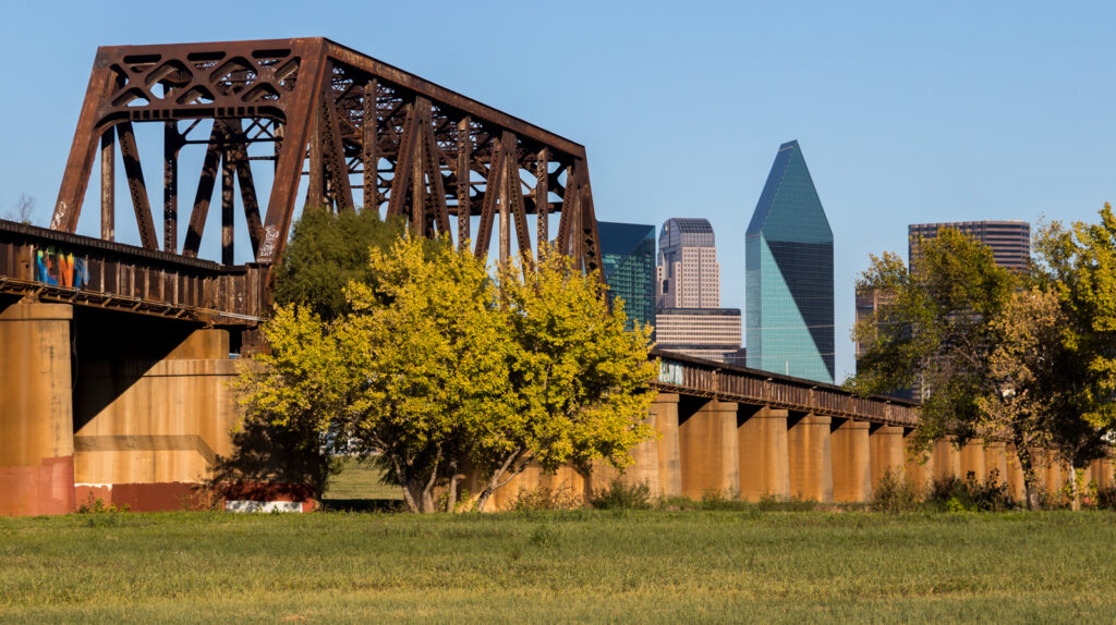
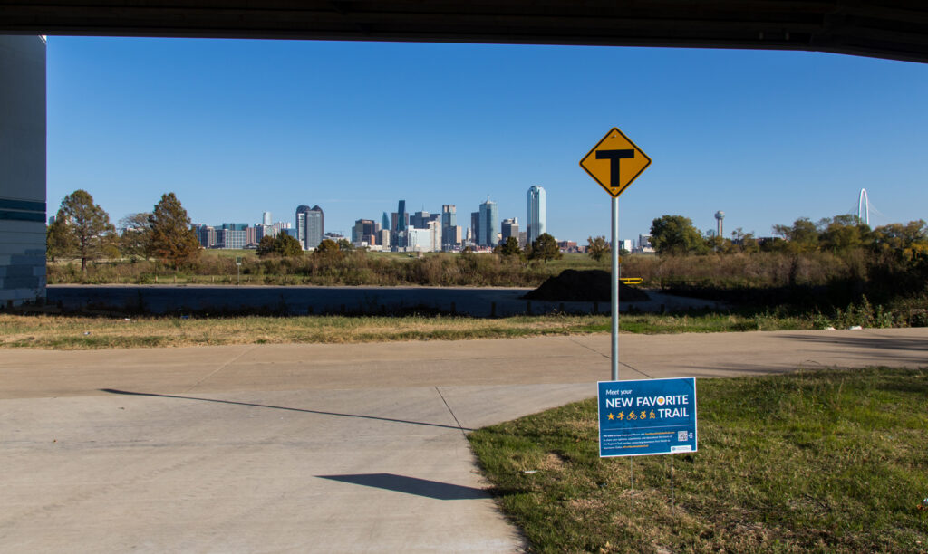
Every once in a while,  life throws you an unexpected turn that paints a giant ear to ear grin on your face. Such was the case that sunny fall afternoon I decided to ride the Trinity Skyline Trail quietly hiding down by the river on the other side of the levee in downtown Dallas. What I discovered was not only more than I had anticipated but as numerous signs along the way proclaimed “Your New Favorite Trail”.

While there are a number of dedicated places to park along the trail, I chose to begin my ride at the southern terminus of the trail at the Trinity Overlook beside Commerce Street. There is a small sign posted at the entrance limiting parking to one hour but because the area was pretty much empty and it was a weekday, I figured I could (and did) get away with parking for a little longer.

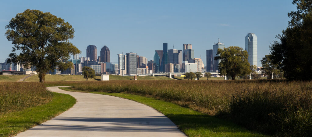
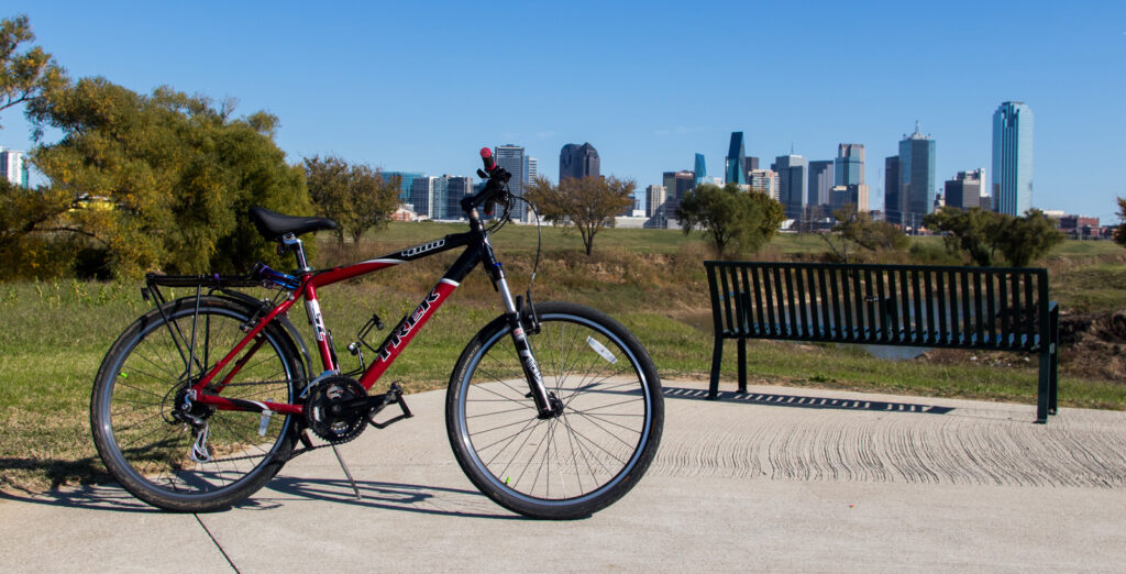
The ride began with a swift ride down a steep incline to the river bottom between the levees. From there a cement trail follows the course of the river northwest with an up close and personal view of the Dallas Skyline. Impressive to say the least.

As I rode along the west side of the Trinity River, I kept wondering how and where the trail was going to cross the river. Did they build a new bridge for the trail only, would the trail share the road with traffic while crossing, was I stuck on that side of the river for the duration?

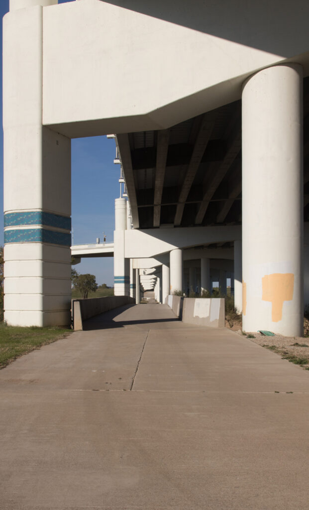
The answer to my dilemma came in the form of a brand new elevated bridge crossing the river at Sylvan Avenue delegating the older bridge sitting proudly underneath to trail traffic only. From that point on the trail shadows the course of the Trinity River northwest towards Irving.

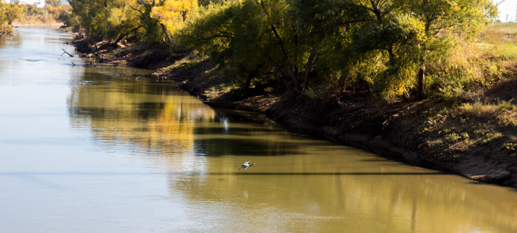
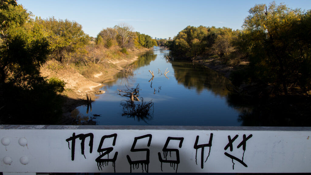
This section of the trail flows through waving fields of tall grass between the levee on the east side and trees along the river on the west. The powers that be have seen the wisdom of allowing trees and other vegetation to grow along the banks while keeping the area along side free of anything other than grass. The river can freely overflow its banks, flooding the area between the levees as it speeds past Dallas on its way to the Gulf of Mexico. Meanwhile the trees stabilize the river banks, providing aquatic habitat and mitigating the effects of straightening the river.

As I continued my ride, the sights and sounds of urban mayhem were replaced with a vast field of grass swaying in the breeze filled with the sounds of wildlife thriving in a sea of green terrafirma highlighting the contrast between cold cement and warm earth. On that sunny fall day, I had the trail all to myself – not another soul the entire trip. The trail is brand, spanking new and I’m guessing unknown to anyone save a few lucky souls who’ve stumbled upon it.

The trail ends where it connects with the southern portion of the Campion Trail in Irving. There is a large park there with baseball fields, playgrounds and a parking lot. So you can start on the northern end or the southern end depending on which way you want to ride into the wind or more importantly which view you want to end your ride looking at. For my pedaling pursuits, I’ll go with ending the ride watching the Dallas Skyline grow nearer, bigger & more beautiful.

On a sunny fall afternoon, riding along the Trinity through an undulating field of green, serenaded by the sounds of nature with the sun warming my face I was summoned by the world to live in the moment. A moment that has never existed before and will never exist again, a moment to treasure as it unfolds, a moment that will be remembered for what was revealed and experienced within myself.

https://www.traillink.com/trail/trinity-skyline-trail/

Oak Point Preserve

Someone from Kansas once said that “there’s no place like home” and after having lived here in Plano, TX for more than 20 years, I’d have to whole heartedly agree. Especially in the context of riding one’s bicycle. When we bought this house, I was not aware of the bicycle trails that were laying in wait for me just down the block. While I’d seen the solitary cement ribbon heading north from the small park & baseball field, I wasn’t sure exactly where it led. 

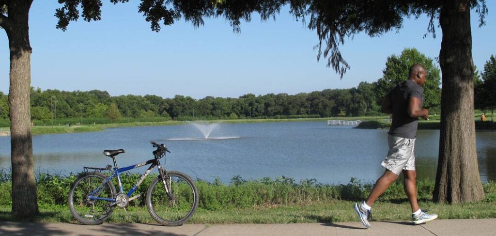
All that changed the day I decided to ride my bike down that trail just to see where it went. In the beginning it just seemed to be a connector from one street to another but after riding a half mile or so and crossing over Rowlett Creek, I arrived at Bob Woodruff Park. There’s a small lake there with a fountain in the middle of the lake, a playground along side the lake and a large group shelter with a volleyball court too.

After circling the lake, the trail continues north crossing over Rowlett Creek again and coming to a fork in the middle of an old secluded pecan grove. One fork heads west along a branch of the creek into the surrounding neighborhoods while the other fork heads north, crossing the creek again before going under Parker Road and into the William Dexter Prince Memorial Pecan Grove, a continuation of the magical nut making paradise along that stretch of creek bottom. 

What makes this grove so special are the large number of old growth pecan trees providing shade for the hot & weary in addition to the pecans waiting for those in search of tasty treats. What makes it even more so, is the realization that Prince not only planted those trees for himself but those that would follow. In that act, he created a delicious legacy that will continue to live on after him. 

After crossing Rowlett Creek again the trail skirts the edge of a very large field, a field that in years gone past has been filled with millions of fireflies creating the aura of enchantment on a night ride. Over the years the trail has been expanded and now follows the perimeter of that field with several branches off to other destinations along the way. 

One of those branches leads one to yet another field where each year Plano holds its balloon festival. That is an amazing thing to witness, tens of balloons filling with hot air, then lifting off to follow the wind wherever it blows. Moreover, the launches continue throughout the year as weather permits making hot air balloons a common site in my neighborhood. 

Continuing along the main Trail brings one to Oak Point Nature Preserve and another small lake. It is here, overlooking the lake, that the city of Plano has placed an event/recreation center. There are also a series of nature trails closed to bicycles meandering through the woods. “Go Ape Zipline & Adventure Park” is also located here providing outdoor opportunities for those seeking treetop thrills and excitement.

All told, there are approximately 10 miles of trail in my local slice of ridable heaven. On a larger scale, the trails connect to hundreds of miles of trails crisscrossing the city of Plano making travel across town not only possible but thoroughly enjoyable.

It’s always been my belief that eventually you end up where you truly belong which I’d have to readily admit is proved by the case in point. Somehow, someway I ended up living next to some of the best bicycling in the metroplex steps away from the door of my house. Over the years, I ridden hundreds, if not thousands, of happy miles down those trails and best of all, I’ve shared those rides with my family. 

When my boys were smaller, I’d throw them in a bike trailer and haul them around the lakes for fun and fresh air. Later, after they learned to ride a bike, we would go for rides together. Over the years, different bikes came and went but the rides were always there to be enjoyed and most importantly, shared.

When it comes to travels, there seems to have always been a discussion about the destination versus the journey. Which one is more important, which one is the reason for the trip? While the arguments tend to swing one way or the other, there are some who would assert that it is about a shared experience with those who accompany you along the way. From my point of view, I would have to agree that our voyage through life is more about the adventures shared with others than the accomplishment of reaching one’s destination.

Within that context, those bicycle trails don’t just provide a connection from one place to another. In a deeper sense, they provide a direct link to the other people in our lives. They create a scaffold within which we interweave the experiences in our lives with those around ourselves. They also function in the preservation of those memories as the road once traveled, is traveled again and the memories shared with others relived along the way. Moreover, their very existence establishes a legacy wherein those who follow can create their own experiences and memories. 

https://www.traillink.com/trail/oak-point-park–nature-preserve-trail/

The Wallkill Valley Rail Trail

There are times in life when one of the “locals” from wherever you’re visiting in the world blesses you with a recommendation regarding your travels. It’s always been my opinion that this isn’t just serendipity but divine intervention casting you into an experience that nourishes the soul. So generally speaking, the advice is taken and the path proposed, explored.

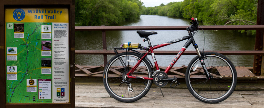
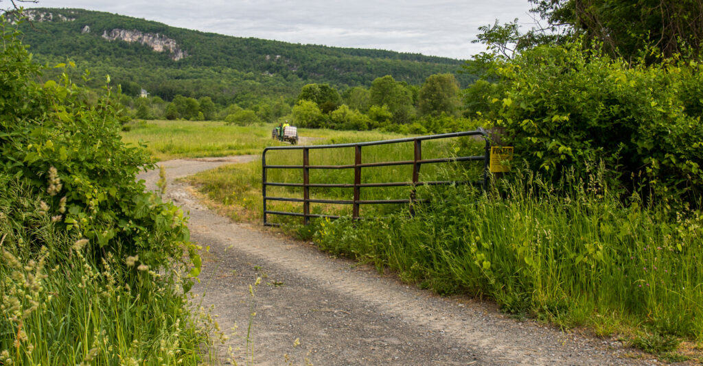
The trip to New Paltz delivered just such an accidental epiphany by way of the gentleman whose apartment I was renting when he suggested I try riding the Wallkill Valley Rail Trail. While the trail just passes through town, so was I, and from that shared perspective, I followed his counsel.

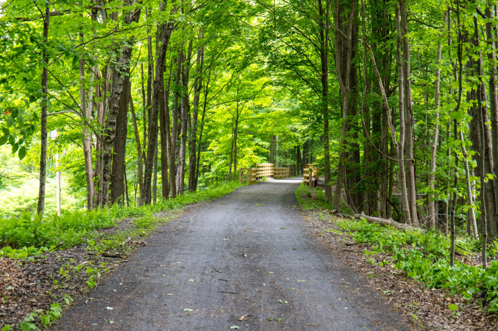
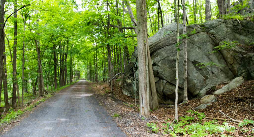
Given its roots as a college town, New Paltz is a very friendly community when it comes to riding ones bike. After a brief trip through small town New York, I arrived where village meets trail and headed north. As one heads out, the trail flirts with civilization, part small town, part forest, revealing in the divergence something of its true nature.

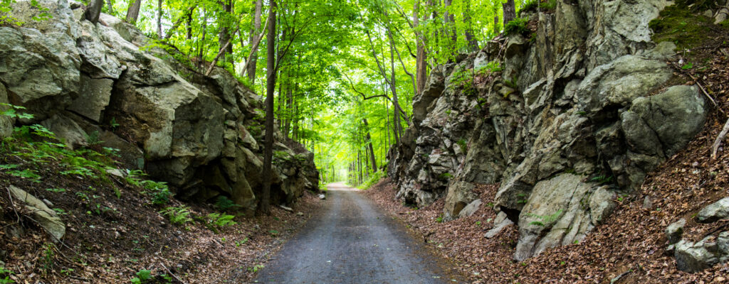
As the trail unfolds, a more subtile version of New York the state emerges. Fields and forest claim their dominion over the landscape. There is a familiar comfort to be found here, something missing from city life, something not hard to give into.

The contrast here between New York “the city” & New York “the state” unveiled before me in shades of green & grey, yet to focus on the differences is to miss the commonalities.

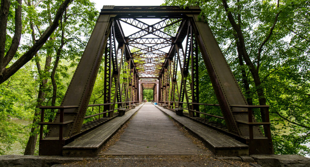
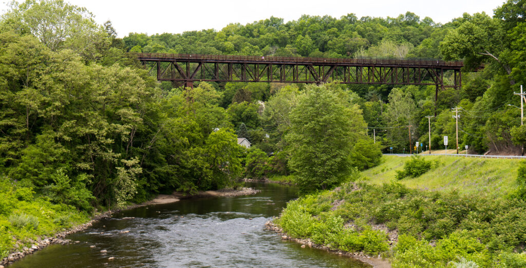
The trail crosses the Wallkill River over an old train trestle now converted to travel by two wheels. The span provides a great spot to stop, enjoy the view and the day. 

It rolls on past farms and farmers, the flowers of spring and through the fields of crops awaiting fall and the harvest.

After a while or 7 miles, whichever came first, I arrived at Rosendale, NY. Rosendale is a small hamlet of a few hundred souls along the shores of Roundout Creek. It is billed as a haven for lovers of the arts, hippies and other assorted followers of a different tune. A trestle crossing high above the creek heralds your arrival. A brief, yet enjoyable jaunt into town reveals the heart and soul of this community.

Returning to the trail and heading back to New Paltz, I was presented with the regretful realization that the trip was almost over. However sad that fleeting feeling may have been, I’ve always seen the return trip not so much as a review of my travels but as a reaffirmation of the joy I felt during the discovery.

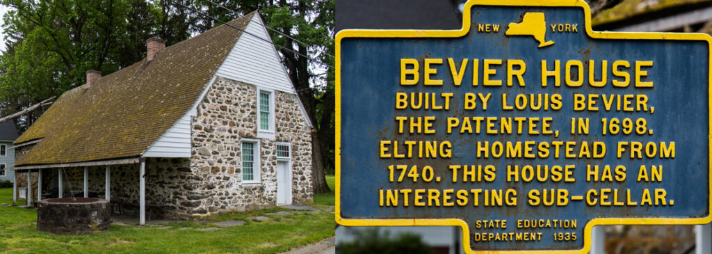
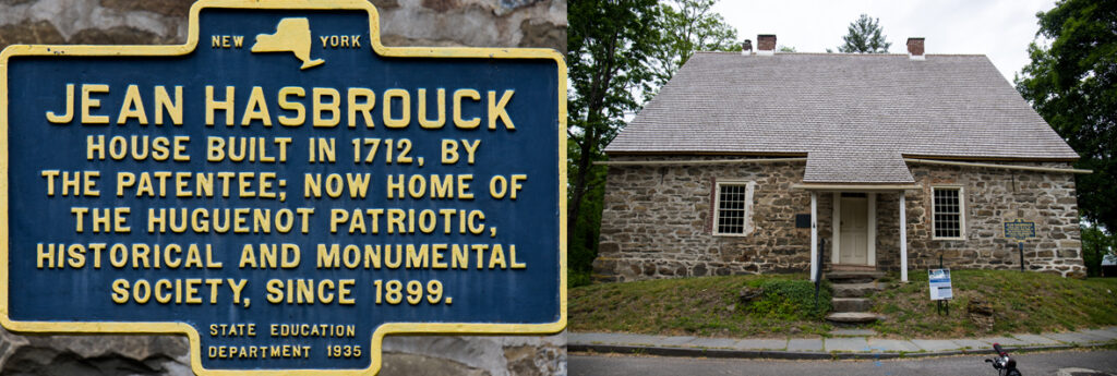
In the end, New Paltz held one more delightful surprise along the trail, historic Huguenot Street. It’s a small cluster of historic buildings from the 1700’s preserved as a window to America’s past. A window well worth opening so as to enjoy the view of a simpler time when life unfolded at a slower pace.

While the allure of travel is seeing different places and meeting diverse people, it’s the commonalities that define the ties that bind us. Within that interplay of different versus same, we come to discover a shared thread of existence running through our lives and those of our neighbors. It is that thread interwoven amongst the other members of our species that reveals the greatest truth about life, we are all connected in the place we call home, our planet earth.

Hudson Valley Rail Trail & Walkway over the Hudson

When it comes to most people’s view of New York the state, they tend to see it as a continuation of New York the city. However, nothing could be farther from the truth. New York state is a combination of several different geographic locations, as well as a number of diverse social, economic & cultural regions. From my perspective, there are essentially two very different areas, New York the city and the rest of the state. Either way, it is a wonderful place to visit because of the differences discovered between the two.

While New York City dances to the rhythm of urban excitement, the rest of the state is more relaxed and down to earth. No where is that contrast more sharply defined in terms of rail trails than New Paltz with the Hudson Valley Rail Trail and The Walkway over the Hudson. New Paltz is a small college town populated with roughly 14,000 souls located in Ulster County approximately 85 miles north of the city.

After dropping off an old college chum in the city, I drove north on the New State Thruway for about 2 hours arriving in New Paltz just after lunch. That gave me plenty of time to settle in to my lodgings and hit the Hudson Valley Rail Trail to the Walkway over the Hudson. 

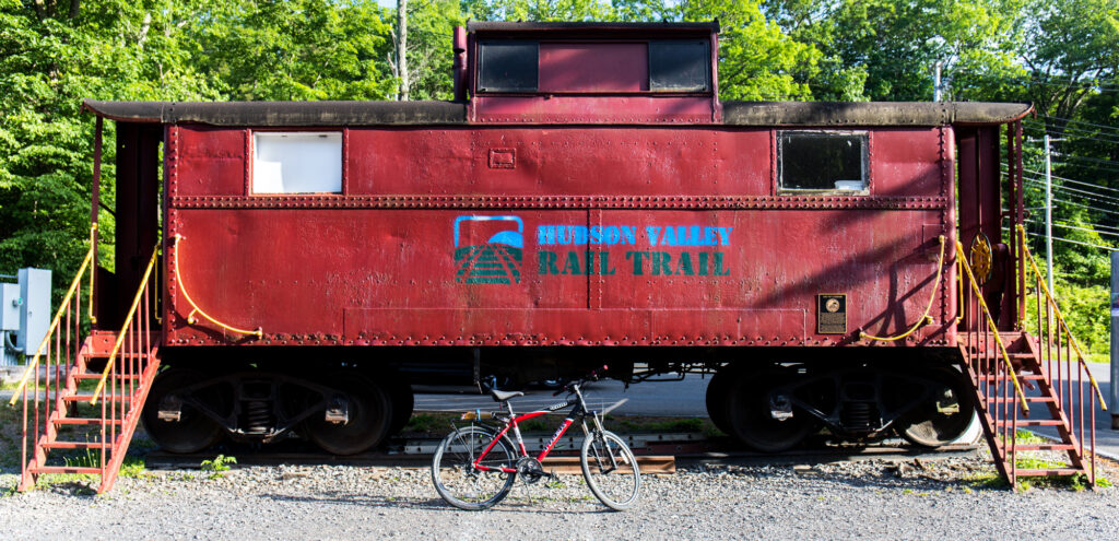
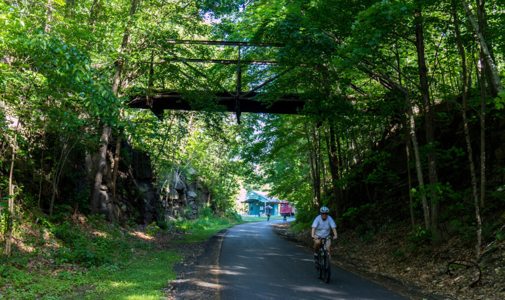
New Paltz is a bike friendly community with well marked and maintained bike paths, one of which started directly outside the door of my AirBnB and took me straight to the beginning of the Hudson Valley Rail Trail. The trail itself follows a clearly marked ribbon of asphalt 8.4 miles to the Walkway over the Hudson.

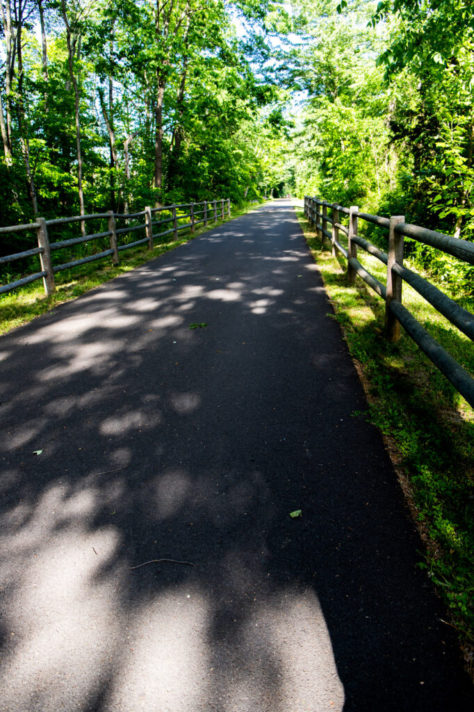
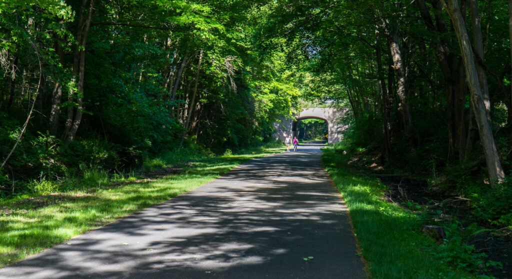
At the beginning, the trail runs along a highway for a little over a mile. About the time I began to wonder why this trail was named to the Rail Trail Hall of Fame it took a turn to the southeast leaving the highway behind transforming itself into a delightful treelined passage through the woodlands of upstate New York. It was at this point that the trail began it’s gradual 2-3% down grade into the Hudson River valley. 

There are a few reminders of the trail’s origins embodied in crossings under old & new bridges as well as several surviving railroad signals. This section personifies my vision of New York state. Large old growth timber shading a winding path through forest hiding undiscovered artifacts from the states past. My only regret is that this segment seemed too short as I arrived at the walkway before I knew it, or more correctly really wanted to.

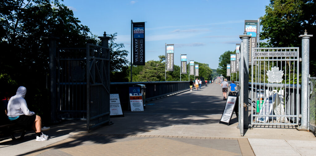
The western terminus of the Walkway over the Hudson seems to appear out of nowhere. There are a lot more people, development and enough signage to make it abundantly clear that you have arrived. Translation: you can’t miss or mistake exactly where you are.

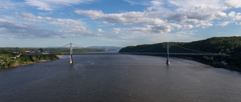
In 1889, the Poughkeepsie-Highland Railroad bridge opened crossing over the Hudson for a distance of 1.28 miles at an elevation 212 feet above the river. Over the years, there were several railroads that used the bridge until 1974 when a fire destroyed the wooden parts of the bridge.  However, the bridge’s story didn’t end there thanks to a group of forward thinking citizens working diligently to save and repurpose the remaining structure. In October 2009, the bridge reopened as the Walkway over the Hudson State Historic Park. 

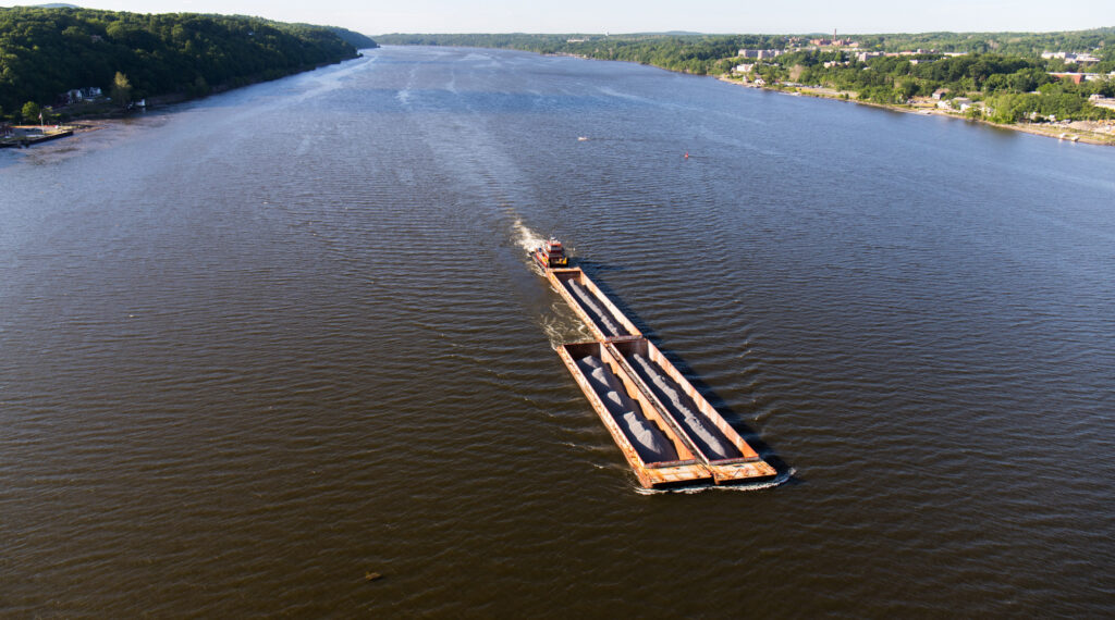
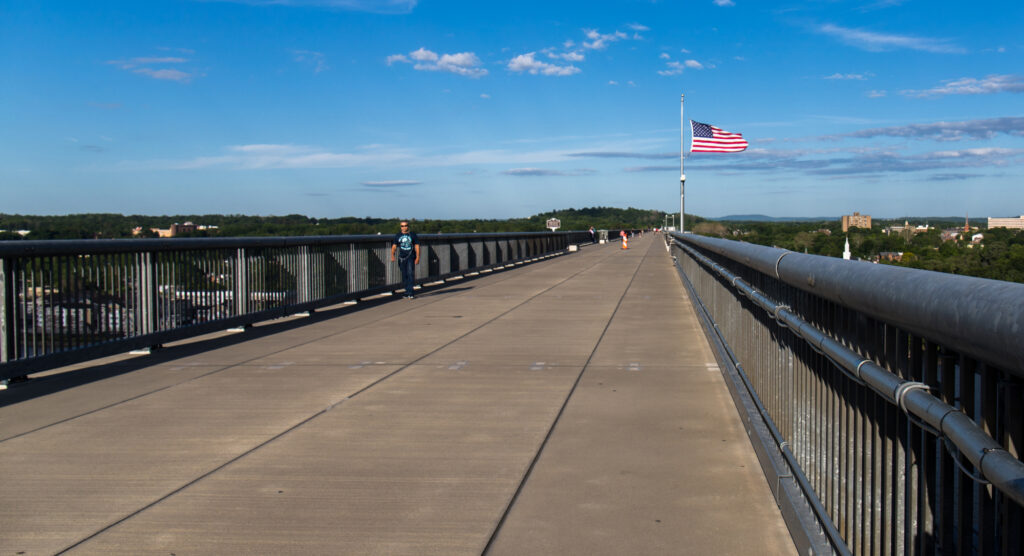
While riding one’s bike 212 feet above the river with awesome views to the north and south can become a heart stopping experience if heights aren’t your thing, the view laid out before your eyes is unquestionably breathtaking!

The view looking up river to the north.
The Walkway over the Hudson.
The view looking downstream to the south.

The pictures speak for themselves. All I can say is, if you’re in the area and you don’t take the time to ride or walk this wonder then shame on you. This is an experience I’ll never forget and the views, I will never fail to recall.

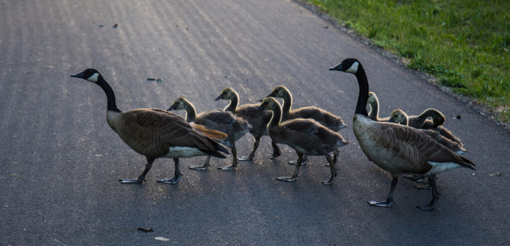
Heading back into town and towards dinner seemed shorter than the ride out. The return part of my rides always feels bittersweet for the simple reason I don’t want the ride to stop. Fortunately a group of geese with their goslings had something different in mind. 
Apparently, the geese were out for a stroll along the trail on their way to dinner. The elders protectively shepherded the youngsters effectively blocking the route to all. Perhaps there was a deeper truth they choose to reveal to the strangers sharing the trail with them. Stopped there, watching their backlit forms on the trail, it came to me. Life isn’t just a list of rail trails you check off as quickly as possible just for the brag of having ridden them. What’s truly important isn’t the list but the experiences on it. So take some time along the way to stop, look around and savor the adventure.

https://hudsonvalleyrailtrail.net/

Hudson River Greenway
Springtime in New York City, the hustle of cabs flying fares around town, the bustle of tourists jockeying to get the best view of the sights and sounds, killer traffic, vehicles coming out of nowhere seemingly going everywhere at warp speed. Over 8 million residents jammed into 23 square miles of island with the daily addition of 1.6 million commuters, 800,000 tourists, and over 70,000 commuting students. Everyone & everything fighting to get somewhere else on the island, yesterday.
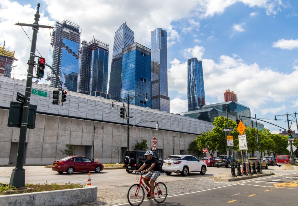
This is no place for a Texas tourist to ride his bike, certain annihilation at the hands of urban mayhem a guaranteed outcome. 

HOLD THE PRESSES!

Not this year, in the spring of 2021 with the pandemic raging and vaccinations just beginning, it would seem all the out-of-towners got the memo; “This spring is for New Yorkers alone”.

No slack jawed tourists edging to check off too many sites on a too long list driven by crazed cabbies looking for fat fares. The city this spring was for the people who live there providing them the opportunity to fall in love with the ‘city that never sleeps’ all over again. 

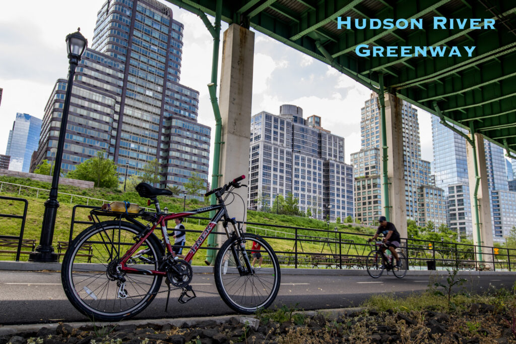
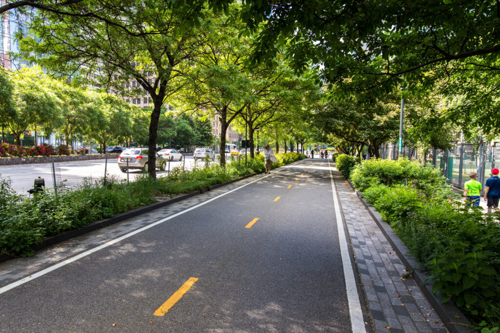
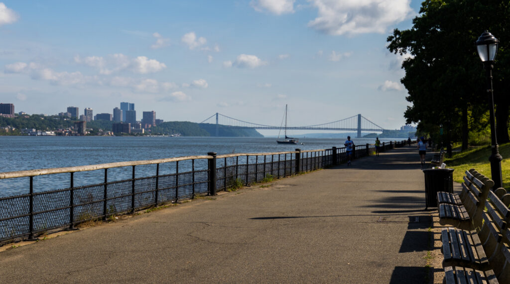
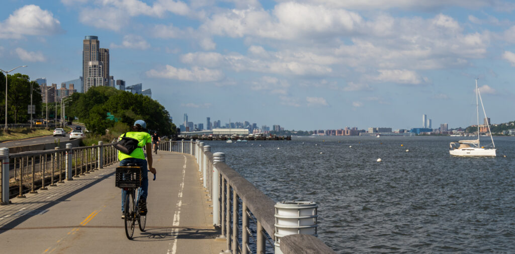
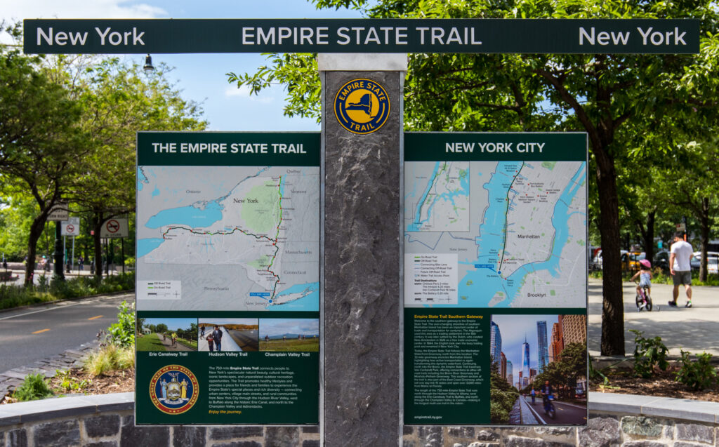
The memo I got said “Come to Manhattan, bring your favorite bicycle and ride the Hudson River Greenway”, a 12.9 mile combination of rail-trail & greenway extending along the eastern shore of the island beside the Hudson River. 
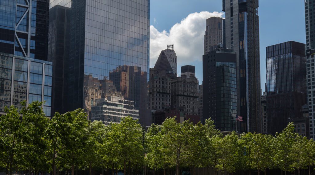
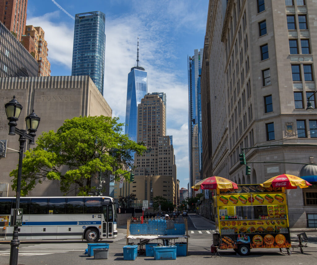
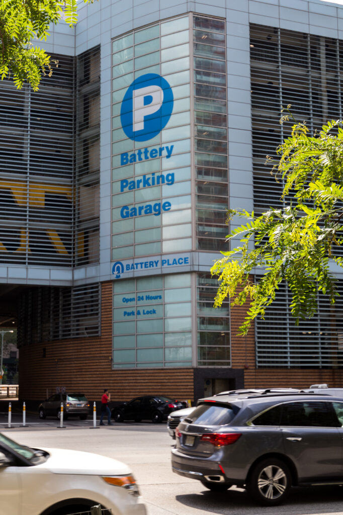
One could stay outside NYC in New Jersey or on Long Island and ride the train into downtown with your bike but I decided to drive into Manhattan, park my truck in the Battery and start my ride north from there. While a bit pricey at $48 a day to park, worth every cent. I rode my bike out of a virtually empty parking garage into the Battery at the tip of the island and directly onto the trail.

So I Rode North

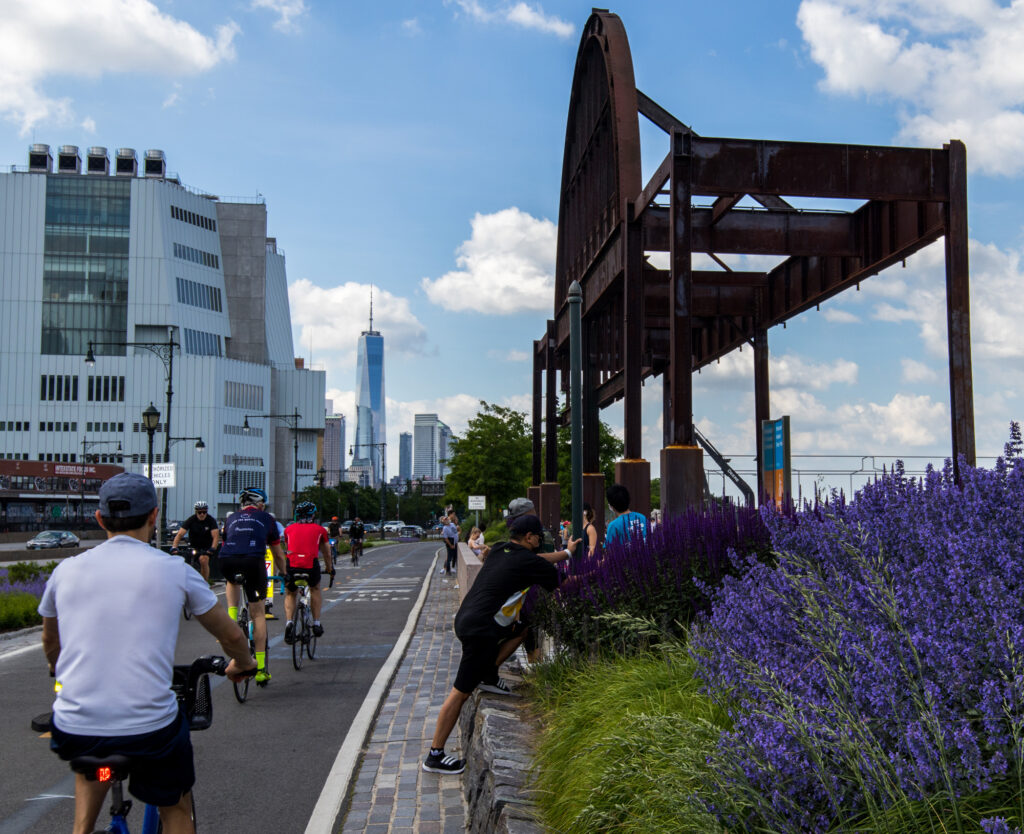
The trail follows the river north flirting with the shoreline at times, weaving in between buildings, tennis courts, playing fields and revitalized shoreline at other times. Manhattan is at it’s best when it’s left to it’s residents without the tourists. Folks are so much more civil when they don’t have to navigate an onslaught of tourists!

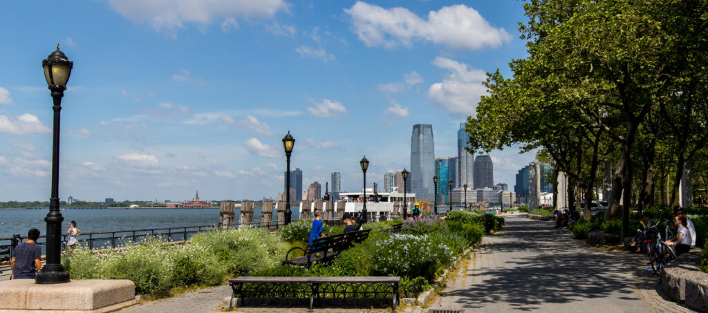
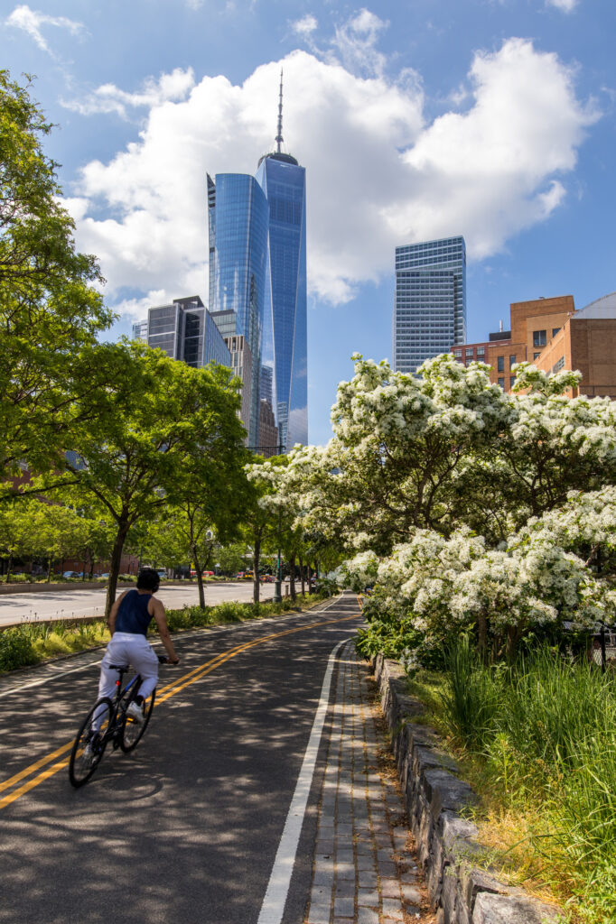
The view of the city and the river at the southern tip of Manhattan is incredible with shade from the buildings AND TREES! It is  a greenway after all. 

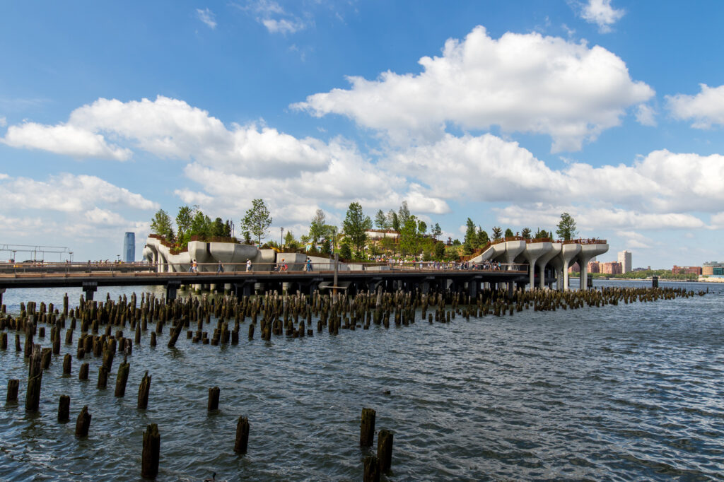
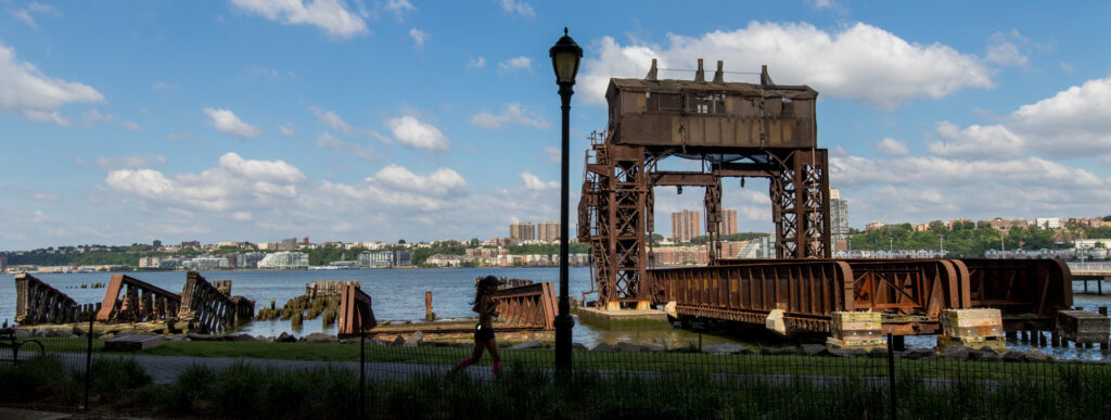
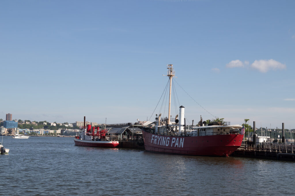
As you ride north to midtown, the skyscrapers on your eastern horizon bow down to your passing for a while only to spring back up in midtown. Old docks have been transformed into “Little Islands” and “Frying Pan” restaurants. A steady trickle of residents populating the trail along the way. Everyone smiling, enjoying the weather, the view and the lack of chaos. 

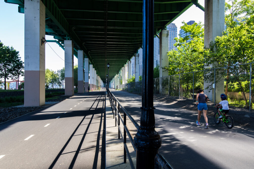
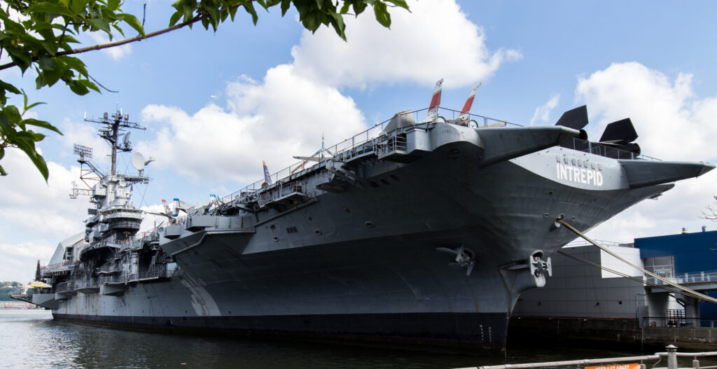
The ride flows north under the Henry Hudson Parkway, skyscrapers on your right and the river on your left past tennis courts, softball fields and the USS Intrepid, a retired aircraft carrier. Then back into the trees before emerging beside the river with a jaw dropping view of the George Washington Bridge. 

Then I Rode South

Around 125th street, regrettably, I made a u-turn and headed back south to the Battery. What am I saying here, regrettably my foot, make that both feet. The view going south is just as sweet as the view going north.

Ending up back at the Battery, I decided to ride around a bit and take in the sights. Did I mention the utter lack of tourists?

Final Thoughts

This ride fundamentally changed the way I see New York City. I went to school on Long Island in the 70’s. At that time NYC wasn’t so friendly and was, in fact, down right dangerous. From the hookers around the Port Authority to the pooled blood on the stairs of the subway, the city could and would rear up it’s ugly side and take a big bite out of you. The immense scale of the buildings, the constant crush of crowded chaos and the filth in the streets dominated the senses of the newly arrived while driving the inhabitants to a callous disregard for others.

After my ride along the Hudson River that Sunday morning in May, I’ve come to see the city for what it has become in the years and tribulations that have happened during that time. New Yorkers have reconnected with the inner strength they always had and the hardening in the fire that was 9/11. There is literally a green side to New York City along the Hudson River and a confident optimism in the city’s future seen in the smiles and on the faces of it’s natives.

New York City feels smaller, closer to the scale of life I live in; and familiar, I’m no longer an outsider. It is a city much like the Phoenix, reborn, rebuilt and reimagined by it’s habitants along the lines of the great metropolis it has always been and will always be. As it turns out, I took more than a ride along the Hudson, it would seem I took a ride into my past and came back to the present transformed by the changes in a city I thought I knew. 

https://www.traillink.com/trail/hudson-river-greenway/